![[2026 Egypt History Tours] Dahab's Thousand-Year Walk: Where Nabatean Traders and Bedouin Elders Still Guard the Red Sea (Sacred Paths & Living Legends)](https://boddatours.me/images/fallback-post.png)
The Sand Remembers Every Footstep
I grew up in Cairo. The kind of Cairo where the call to prayer mixes with car horns and the smell of koshary from the corner cart. But the first time I drove the coastal road to Dahab, something shifted. The desert doesn't shout. It whispers. And if you slow down enough — really slow down — you start hearing stories that go back further than any guidebook bothers to tell.
Most people know Dahab for the Blue Hole. For the dive shops. For the backpacker cafes serving banana pancakes at sunset. That Dahab exists. I've eaten those pancakes. But there's another Dahab layered underneath. A Dahab where Nabatean merchants once paused with camels heavy with frankincense and myrrh. Where Byzantine monks walked barefoot toward Mount Sinai. Where Bedouin tribes have negotiated peace treaties under acacia trees for centuries. That Dahab doesn't announce itself. You have to know where to look.
This is what an Egypt history tour feels like when it's done right. Not a checklist of ruins. A conversation with the land itself.
The Nabatean Shadow on the Coastal Road
Before Dahab had a name, it had a function. The Nabateans — those master desert architects who carved Petra from rose-red rock — didn't just live in Jordan. Their trade network stretched across the Sinai Peninsula, following the coastline where fresh water wells dotted the route between the Red Sea and the Mediterranean.
I've stood at the small archaeological site near Wadi Gnai, where Nabatean pottery sherds still surface after winter rains. The Egyptian Ministry of Tourism and Antiquities confirmed these findings in their 2021 survey of coastal Sinai sites. You can see the distinctive painted fine ware — thin as eggshell, decorated with floral motifs that echo Petra's own pottery styles. These weren't random travelers. This was a managed supply chain.
The Nabateans controlled the incense trade from southern Arabia to Gaza. Frankincense and myrrh moved north on camel back. Copper from the Sinai mines moved south. Dahab's natural harbor — protected by the curve of the coastline — made it a logical waypoint. The name "Dahab" itself means "gold" in Arabic. Some elders say it refers to the golden sand. Others whisper it's older — a corruption of a Nabatean or Aramaic word for "harbor" or "resting place." I've heard both stories from the same Bedouin friend, told with equal conviction.
What strikes me most isn't the pottery. It's the water management. The Nabateans were hydraulic engineers before the word existed. They carved channels into the wadi beds to capture flash flood water. Some of those channels still function. I've watched Bedouin shepherds water their goats from a cistern that hasn't needed repair in two thousand years. That's not heritage. That's continuity.
Byzantine Pilgrims and the Path to the Holy Mountain
When Christianity became the empire's religion, the Sinai transformed. The mountain where Moses received the tablets became a magnet. Pilgrims from across the Mediterranean landed at Aqaba or crossed from Suez, then walked the coastal plain toward St. Catherine's Monastery.
Dahab sat on that route. The 6th-century pilgrim account of Antoninus Placentinus describes "a place of palms and sweet water" two days' walk from the monastery. That matches Dahab's geography exactly. The palm groves near Asalah — the old village center — are fed by the same aquifer that sustained those travelers.
I've walked sections of the old pilgrim path with Sheikh Salama, a Muzeina elder who traces his lineage to the tribe that guarded these routes. He points out the white stones piled at intervals — not trail markers, he says, but prayer cairns. Each pilgrim added a stone. Each stone carried a petition. Some for healing. Some for safe return. Some for forgiveness. The cairns grow taller each generation. Bedouin still add stones. So do the rare pilgrims who walk instead of drive.
The monastery itself — UNESCO World Heritage site since 2002 — holds manuscripts that mention Dahab by name. A 9th-century Greek text refers to "Dahab, the harbor of the palms, where the brothers rest before the ascent." The brothers were monks. The ascent was the final climb to Mount Sinai. That text sits in the monastery library today. I've seen the facsimile. The ink has faded but the place name hasn't.
The Muzeina and Tarabin: Guardians of the Coast
Ask a Bedouin man his name and he'll give you his genealogy back seven generations. Ask him about Dahab and he'll tell you which wadi his great-grandfather wintered in, which well his grandmother drew from, which mountain pass his uncle defended against Ottoman tax collectors.
The Muzeina tribe holds the coastal territory from Nuweiba to Sharm el-Sheikh. The Tarabin control the inland routes toward the interior. Their territories meet — and sometimes overlapped — in the Dahab region. This wasn't arbitrary. It followed water. It followed grazing. It followed the logic of survival in a land that gives nothing freely.
I've sat in Sheikh Salama's majlis — the guest tent — drinking tea boiled with habak (wild mint) and sage. The fire burns acacia wood. The smoke carries prayers. He told me about the 1919 agreement between the Muzeina and the British, negotiated not in Cairo but in a wadi near Dahab. The British wanted a telegraph line. The Muzeina wanted guarantees: no conscription, no settlement on tribal land, recognition of their customary law. The treaty was signed with thumbprints. A copy hangs in his tent, edges frayed.
That customary law — 'urf — still operates. Disputes over water rights, grazing boundaries, marriage alliances — they're settled by tribal councils, not police stations. The Egyptian state recognizes this. The Bedouin recognize the state. It's a negotiation renewed every generation.
What visitors miss: the Bedouin aren't "locals" in the tourist sense. They're the land's memory. Their poetry maps every wadi, every star, every seasonal shift. A Muzeina poem from the 1930s describes Dahab's coastline before the first concrete block existed: "Where the sea kisses the mountain's foot / The palms drink deep and the camels rest / The traveler finds bread and blessing / In the shade of the acacia's breast." That poem was recited to me by a 22-year-old Bedouin guide who learned it from his grandfather. He works as a dive instructor now. He still knows every verse.
The Blue Hole: More Than a Dive Site
Everyone knows the Blue Hole. The vertical shaft plunging 100 meters. The arch at 56 meters that claims lives. The freedivers who train there, chasing depth records. But the Blue Hole has a history that predates scuba tanks by millennia.
Geologically, it's a sinkhole formed when a limestone cave roof collapsed. The same process shaped the entire coastline — fossil reefs lifted by tectonic movement, then dissolved by rainwater when sea levels dropped. The arch is a natural tunnel connecting the sinkhole to the open sea. It's breathtaking. It's also dangerous. I've lost count of the memorial plaques on the cliff edge.
But before it was a dive site, it was a landmark. Bedouin fishermen used it as a navigation point. "The Eye of the Sea" they called it. They knew the currents. They knew the fish migrations. They knew which moon phase brought the best catch near the arch. This wasn't recreation. This was survival.
There's a story Sheikh Salama told me — one I've never seen in print. During the 1967 war, Israeli forces occupied Sinai. They built a military post near the Blue Hole. A Muzeina elder approached the commander and said: "This place is cursed. The sea swallows men here. Build elsewhere." The commander laughed. Three soldiers drowned within a month. The post was abandoned. The elder's warning wasn't superstition. It was generations of observed reality.
Today, the Blue Hole draws thousands. Most stay at the surface. A few go deep. Very few ask the Bedouin what the place means. I make sure my guests do. The answer changes how they see the water.
Asalah: The Village That Refused to Leave
Walk north from the tourist strip. Past the dive centers. Past the yoga studios. Past the restaurants with English menus. You reach Asalah — the old Dahab. Narrow alleys. Houses built from coral stone and mud brick. A mosque with a minaret that leans slightly, like it's bowing to the sea.
This is where the Muzeina settled when they transitioned from full nomadism to semi-sedentary life. The shift happened gradually. First, seasonal camps became permanent. Then wells were deepened. Then gardens appeared — figs, dates, pomegranates, guava. The gardens still exist. Some families have tended the same trees for four generations.
I know a family in Asalah who still makes their own bread in a clay oven. The grandmother — Umm Ahmed — taught me to read the dough by touch. "The flour remembers the hand that kneads it," she said. Her husband was a pearl diver before the industry collapsed in the 1930s. Her son drives a 4x4 for tourists now. Her grandson studies marine biology in Cairo. Four generations. One kitchen.
Asalah hasn't been polished. The electricity cuts out sometimes. The water tastes of minerals. The call to prayer echoes from the mosque's old speaker system, crackling with static. That's not inconvenience. That's authenticity. And it's disappearing fast. Every year, another coral-stone house gets replaced by a concrete block rental. Another garden gets paved for parking.
This is why I bring travelers here. Not to gawk. To witness. To understand that Dahab's soul lives in Asalah's alleys, not the beachfront promenade.
The Desert Behind the Sea: Wadis That Tell Time
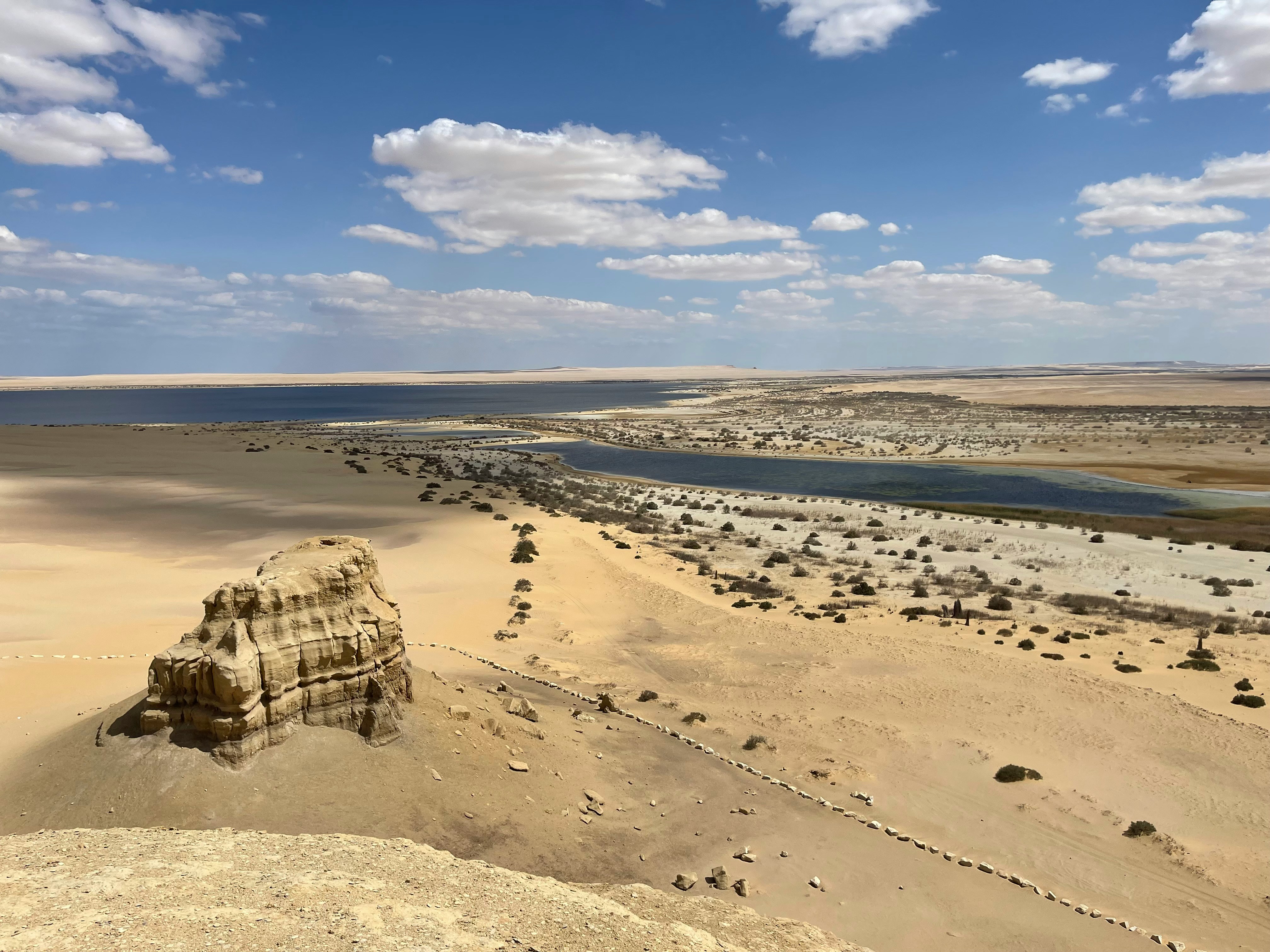
Turn your back on the Red Sea. Walk inland. Within kilometers, the coastline vanishes. You're in the Sinai massif — granite mountains, sandstone wadis, a landscape that feels older than time.
Wadi Gnai. Wadi Qunai. Wadi Tal'a. Each has its own character. Its own water sources. Its own rock art. I've documented petroglyphs in Wadi Qunai — ibex, camels, hunters with bows, geometric symbols that might be tribal marks or star maps. The Egyptian Ministry of Tourism dates some to the Neolithic, others to the Bronze Age. The Bedouin say they're "the writings of the ancestors." They don't need carbon dating to know that.
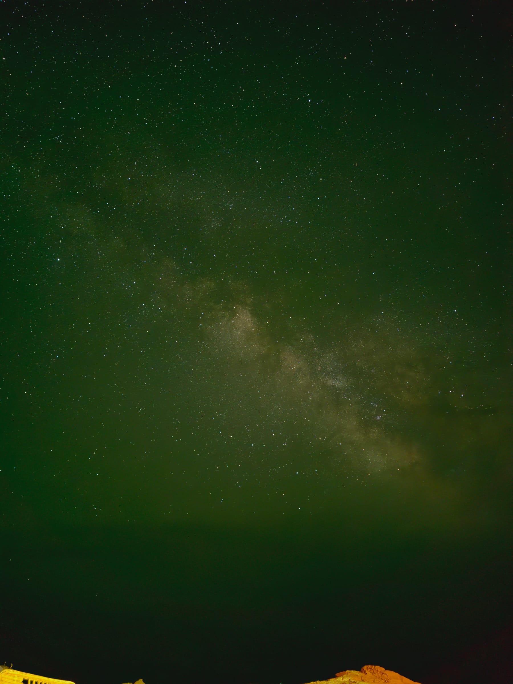
These wadis were the highways. The coastal route was exposed — wind, heat, raiders. The interior wadis offered shade, water, concealment. Caravans moved through them at night, navigating by stars the Bedouin still name: Al-Thurayya (the Pleiades), Al-Jawza (Orion), Suhayl (Canopus). The same stars guided Nabatean merchants, Byzantine pilgrims, Ottoman couriers, and modern smugglers.
I've camped in Wadi Gnai with a Bedouin family during Eid al-Adha. They slaughtered a goat. We ate under a sky so dense with stars it cast shadows. The grandfather sang a nabati poem about a wadi flood that saved his father's herd in 1947. The flood came from rain that fell 50 kilometers away — invisible, unexpected, deadly if you didn't know the wadi's moods. "The desert teaches patience," he said. "And respect. The wadi gives water. The wadi takes life. Same wadi."
That duality — generosity and danger — defines Sinai. It's not a backdrop. It's a presence.
When the Sea Gives and Takes: The 2004 Tsunami Memory
Older Bedouin remember the 2004 Indian Ocean tsunami. It reached Dahab. Not as a wall of water — the Red Sea's geography protected it — but as a strange withdrawal. The sea pulled back 200 meters, exposing reef flats that hadn't seen air in living memory. Fish flopped on coral. Shells glittered in sudden light. Then the water returned, gentle but insistent, flooding the low-lying cafes.
No one died in Dahab. The Bedouin read the signs. "When the sea flees," they say, "run to the mountain." That knowledge saved lives in 2004. It's saved lives before. It'll save lives again.
I heard this story from three different elders, each adding details the others omitted. One remembered the sound — a low hiss, like steam escaping. One remembered the birds — thousands of gulls rising in silent spirals before the water retreated. One remembered the smell — sulfur and deep ocean, rising from the exposed reef.
This is oral history functioning as early warning system. This is culture as survival technology. And it's still working.
Best Time to Walk These Paths
Spring. March through April. The desert blooms — not dramatically, but quietly. Yellow broomrape. Purple desert lavender. White desert lily. The wadis green up. Temperatures sit in the comfortable 20s Celsius. Nights are cool enough for a light blanket.
Autumn works too. October through November. The sea stays warm from summer. The crowds thin. The light turns golden earlier.
Summer is fierce. July and August push past 40°C. The sea becomes bathwater. Only the hardened stay. Winter brings wind — the shamal howls down from the north, whipping sand and dropping temperatures near freezing at night. Beautiful in its way. But not for everyone.
If you want the pilgrim experience — walking, not driving — spring or autumn. The old paths demand moderate temperatures.
How to Reach Dahab's Deep History
From Cairo, it's a 6-7 hour drive along the coastal highway. The road is good. The scenery shifts — Suez Canal, then desert mountains meeting turquoise water, then the Sinai massif rising inland. You pass the Ahmed Hamdi Tunnel. You pass the turnoff for St. Catherine's. You pass Nuweiba's port. Then the Dahab sign appears — simple, weathered, almost apologetic.
Flights land at Sharm el-Sheikh International Airport, 90 minutes north. From there, a private transfer takes you down the coast. Bodda Tours arranges both options — door to door, air-conditioned vehicle, a driver who knows every wadi crossing and Bedouin tea stop.
There's no public transport that serves the historical sites. The old pilgrim paths, the Nabatean wells, the rock art panels — they require a 4x4 and someone who knows the land. That someone should be Bedouin. Or at least guided by one.
What to Expect When You Walk With Us
No crowds. No scripts. No rush.
We start early. Coffee in Asalah with a family who remembers when the road was sand. Then the coastal walk — following the ancient route toward the Blue Hole, but stopping at the Nabatean cisterns, the Byzantine prayer cairns, the Bedouin tribal boundary markers. A Bedouin guide explains each in Arabic; our Korean-speaking guide translates with nuance, not just vocabulary.
Midday in a wadi. Shade under an acacia. Bread baked in sand. Tea boiled three times — first bitter, second sweet, third with herbs. Stories told between sips. The guide points out a desert fox track. A lizard basking on a rock that was a coral reef 20 million years ago.
Afternoon at the Blue Hole — but not the tourist side. We approach from the land side, along the cliff top path the Bedouin used. You see the arch from above. You understand the geometry. You feel the wind that has shaped this coast for eons.
Sunset back in Asalah. Maybe a meal with the family from the morning. Maybe just quiet on a rooftop watching the Saudi mountains glow across the gulf.
That's the day. Simple. Deep. Unforgettable.
What to Wear: Respect Written in Cloth
Light layers. Long sleeves against sun and respect. Long pants or skirts. Closed shoes with grip — the wadi rocks are sharp and slippery. A head covering for sun and for entering Bedouin spaces. Women: a scarf for the mosque, for the majlis, for moments when elders are present. Men: avoid sleeveless shirts in village areas.
This isn't about rules. It's about reading the room. The Bedouin have hosted strangers for millennia. They don't judge. But they notice. Dressing with care says: I see you. I honor your home. That changes everything.
Is Dahab Worth Visiting for History Lovers?
Yes. Unequivocally.
Dahab offers something rare: a place where ancient trade routes, pilgrimage paths, tribal territories, and geological wonder overlap in a landscape that hasn't been paved over. You can stand at a Nabatean well in the morning, pray at a Byzantine cairn at noon, share tea with a Muzeina elder in the afternoon, and watch the sun set behind mountains that have witnessed it all.
It's not a museum. It's a living landscape. The history here breathes.
Nearby Journeys That Deepen the Story
Dahab connects naturally to other chapters of Egypt's story.
St. Catherine's Monastery — two hours inland — holds the world's oldest continuously operating library. The burning bush. The relics of St. Catherine. The mosque built beside the church by Fatimid caliphs. It's the spiritual anchor of the peninsula.
Mount Sinai — Jebel Musa — rises beside it. The night climb is a pilgrimage in itself. Dawn from the summit reveals the entire peninsula spread below: the Gulf of Aqaba, the Gulf of Suez, the Red Sea stretching toward Africa.
Nuweiba — 30 minutes north — holds the Tarabin fortress and the crossing point where, some believe, the Israelites passed through the sea. The underwater land bridge is visible on satellite imagery.
Wadi Feiran — the Sinai's largest oasis — was the biblical Rephidim. Palm groves stretch for kilometers. Ancient churches dot the wadi. It's a world away from the coast.
Petra — across the gulf in Jordan — is visible on clear days. The Nabatean capital that sent caravans through Dahab. A ferry connects Nuweiba to Aqaba. Two hours. Two worlds. One civilization.
Bodda Tours designs multi-day itineraries that weave these threads together. Private vehicle. Flexible pace. Bedouin guides at each stage. Korean-speaking coordination throughout.
Why Choose Bodda Tours for Your Dahab Journey
I started Bodda Tours because I watched too many travelers miss the real Egypt. They saw the sites. They took the photos. They left with souvenirs but not stories.
Here's what makes us different:
- 100% private tours — No shared buses. No cramped seats. No fixed schedules. Your vehicle. Your guide. Your pace.
- Korean-speaking guides — Zero language anxiety. Nuance preserved. Questions answered fully. Jokes understood.
- Direct booking, direct service — I'm Bodda. I'm Egyptian. I run the company from Cairo. No middlemen. No resellers. No agent markups. The price you see is the price you pay — no hidden fees, no commission layers.
- Real Bedouin partnerships — We work with families I've known since childhood. They're not contractors. They're partners. Their knowledge shapes every itinerary.
- No fake experiences — Some operators stage "Bedouin dinners" with actors. We bring you to real homes. Real majlis. Real families. The tea is real. The stories are real. The connection is real.
- Custom itineraries — Photography stops. Birdwatching detours. Extra time at a rock art panel. A detour to a family wedding if timing aligns. Your interests drive the day.
- If something goes wrong, we make it right — Vehicle issue? Weather delay? We fix it or compensate. No bureaucracy. No blame-shifting. Just solution.
- Real traveler reviews available — Ask us. We'll share recent guest contacts. Hear it from them.
We offer private Dahab history tours as standalone journeys or woven into larger Sinai itineraries combining St. Catherine's, Mount Sinai, Nuweiba, and the desert wadis. We also run Siwa Oasis tours from Cairo (2-day and 3-day), Fayoum day trips from Cairo to the Valley of the Whales and Magic Lake, Egypt desert safari tours to the White and Black Deserts, Luxor tours covering the Valley of the Kings and Karnak, Aswan tours to Philae Temple and Nubian villages, and multi-city Egypt history tours that connect it all.
Ready to Walk the Thousand-Year Path?
Whether you're drawn to Nabatean trade routes, Bedouin poetry, Byzantine pilgrim trails, or simply the silence of a desert that remembers every footstep — Dahab's deep history is waiting. I'd be honored to show you.
Reach out anytime between 07:00-22:00 daily. I reply fast. Usually under 10 minutes.
- WhatsApp: wa.me/201040541153
- KakaoTalk: open.kakao.com/o/smU92Hfi
- Email: info@boddatours.me
- Website: boddatours.me
Sources & References
- Egyptian Ministry of Tourism and Antiquities, "Archaeological Survey of Coastal Sinai Sites" (2021)
- UNESCO World Heritage Centre, "Saint Catherine Area" (inscribed 2002)